|
|
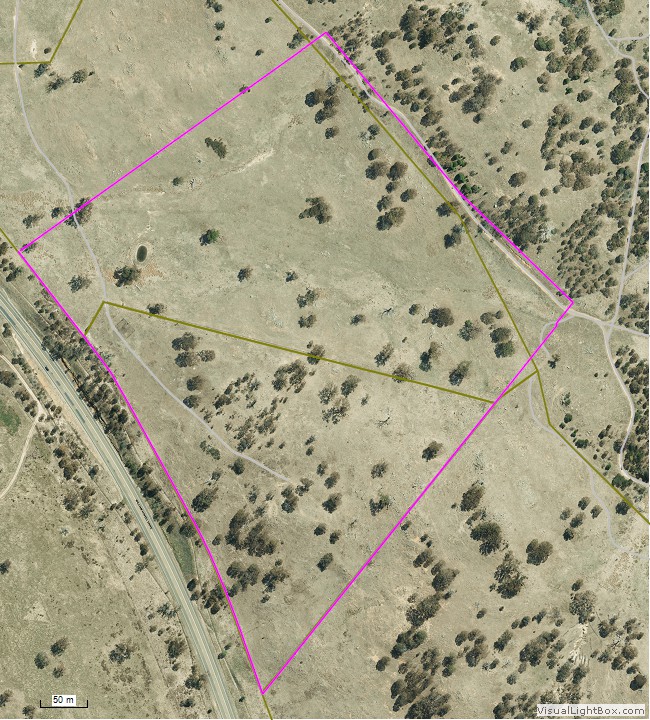
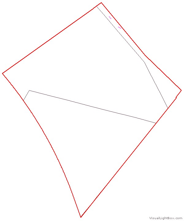
In October 2014, approval was given for an extension to the Pinnacle Nature Reserve by including an area identified for an environmental offset. The offset area is shown in the pop-up map at the right and its location is shown (as the extension) on our area map.
Friends of the Pinnacle has been carrying out weed control for at least 5 years in the area that is now the offset. This has been for several reasons: |
|
|
|
- the northern strip of the offset has always been fenced and managed as part of the Pinnacle Nature Reserve, even though it has been officially mapped as not being part of the Reserve;
- fotpin recognised the ecological values of parts of the offset area, particularly the south-east corner and sought to protect and enhance those;
- some parts of the offset area close to the Reserve were (and still are to some extent) heavily infested with a range of weeds and these were treated to minimise their invasion (or reinvasion) of the adjacent parts of the Reserve; and
- as time and resources permitted fotpin's weed control was able to encompass more of the adjacent land not subject to rural lease.
The first documentation of this weed control effort was in 2010, but it is incomplete, predating our current reporting procedures. Since July 2011, records have been kept both of effort (time spent) and exactly where that effort was (using GPS tracks and waypoints).
The effort is summarised in the table below, and the maps that follow show where that effort occurred in each season. Data is current to 07 June 2016.
Hours of weed control |
2011-12 |
2012-13 |
2013-14 |
2014-15 |
2015-16 |
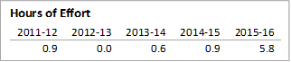
African Lovegrass |
0.9 |
0.0 |
0.6 |
0.9 |
5.8 |
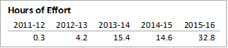
St. John's Wort |
0.3 |
4.2 |
15.4 |
14.6 |
32.8 |
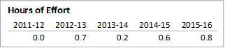
Blackberries |
0.0 |
0.7 |
0.2 |
0.6 |
0.8 |
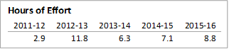
Sweet Briar |
2.9 |
11.8 |
6.3 |
7.1 |
8.8 |
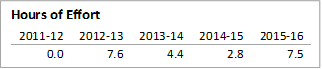
Bathurst Burr |
0.0 |
7.6 |
4.4 |
2.8 |
7.5 |
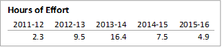
Paterson's Curse |
2.3 |
9.5 |
16.4 |
7.5 |
4.9 |
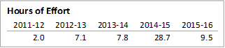
Saffron Thistles |
2.0 |
7.1 |
7.8 |
28.7 |
9.5 |
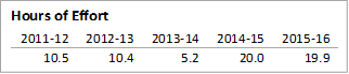
Thistles (not Saffron) |
10.5 |
10.4 |
5.2 |
20.0 |
19.9 |
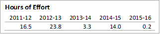
Horehound |
16.5 |
23.8 |
3.3 |
14.0 |
0.2 |
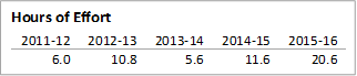
Verbascum |
6.0 |
10.8 |
5.6 |
11.6 |
20.6 |
Woody weeds (other) |
0.0 |
3.4 |
0.1 |
0.0 |
0.2 |
Other exotic grasses |
0.0 |
0.0 |
0.0 |
0.0 |
0.2 |
Other weeds |
1.1 |
0.1 |
0.1 |
1.8 |
1.0 |
Total |
42 |
89 |
65 |
110 |
112 |
The weed control history in the Pinnacle offset can also be downloaded as a pdf file [  0.8 MB] 0.8 MB]
| Map menu |
| African Lovegrass |
St. John's Wort |
Blackberries |
Sweet Briar |
Bathurst Burr |
| Paterson's Curse |
Saffron Thistles |
Other Thistles |
Horehound |
Verbascum |
Show an explanation of data on the maps
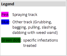
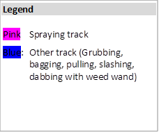
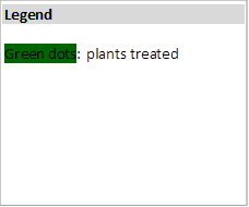
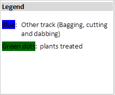
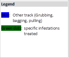
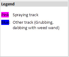
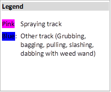
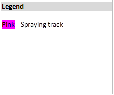
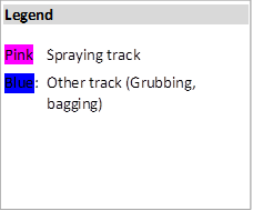
The GPS tracks have been separately identified as spraying (pink) and all other activities (blue). Tracks exist for all spraying activities, and for nearly all other activities. Other activities vary, depending on their appropriateness to particular weed types, and include grubbing, pulling, bagging of seed heads, dabbing with chemical, cutting and dabbing (for briars and woody weeds), and slashing (primarily for Saffron thistles, with either a scythe or a brushcutter). Where appropriate, green dots indicate specific infestations of weeds, often where no tracks exist.
For briars, woody weeds and blackberries, the actual plants treated are shown on the maps, rather than tracks (unless plants were not waypointed), as they give a better indication of what was actually achieved for such weeds, which are generally scattered.
Hide the map explanation
|
African Lovegrass
|
|
⇦ Click any image to enlarge |
St. John's Wort
|
|
⇦ Click any image to enlarge |
Blackberries
|
|
⇦ Click any image to enlarge
|
Sweet Briar
|
|
⇦ Click any image to enlarge |
Bathurst Burr
|
|
⇦ Click any image to enlarge |
Paterson's Curse
|
|
⇦ Click any image to enlarge |
Saffron Thistles
|
|
⇦ Click any image to enlarge |
Thistles other than Saffron Thistles
|
|

⇦ Click any image to enlarge |
Horehound
|
|
⇦ Click any image to enlarge |
Verbascum
|
|
⇦ Click any image to enlarge |
|

 2011-12
 2012-13
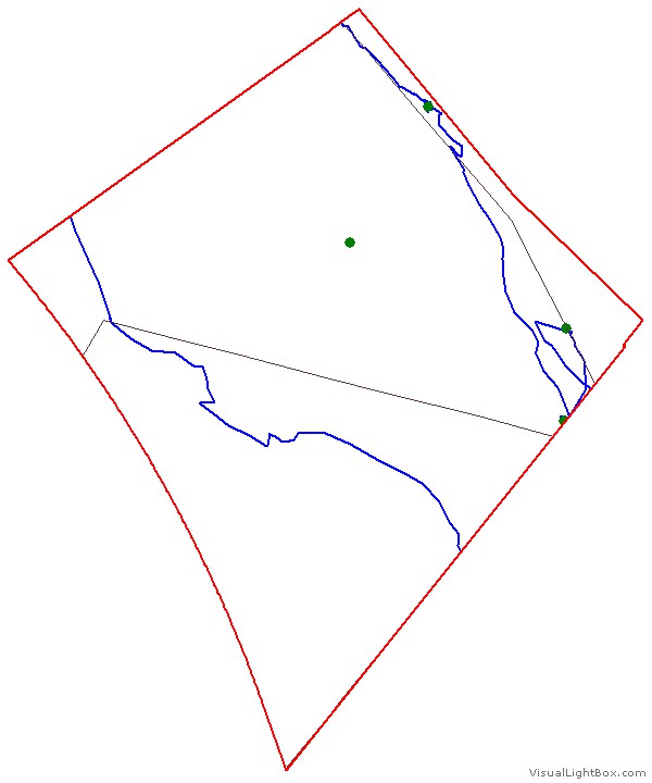 2013-14
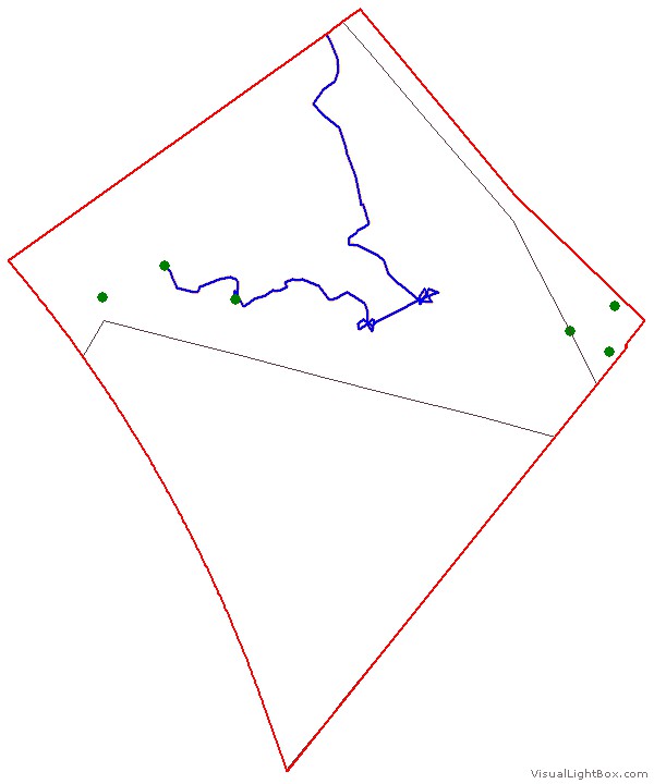 2014-15
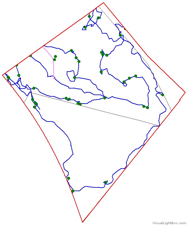 2015-16
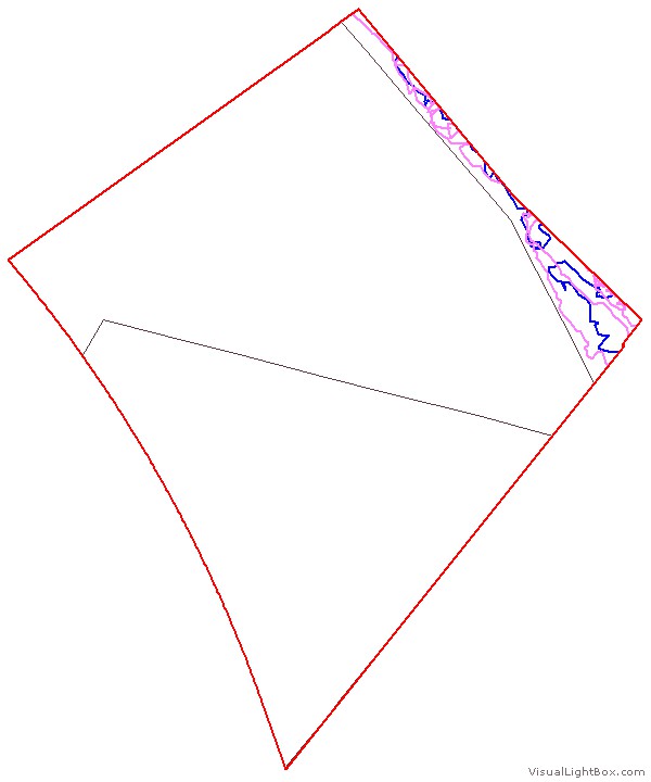 2011-12
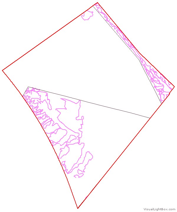 2012-13
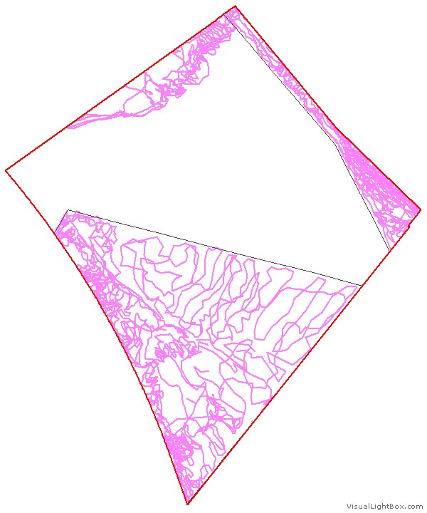 2013-14
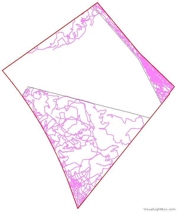 2014-15
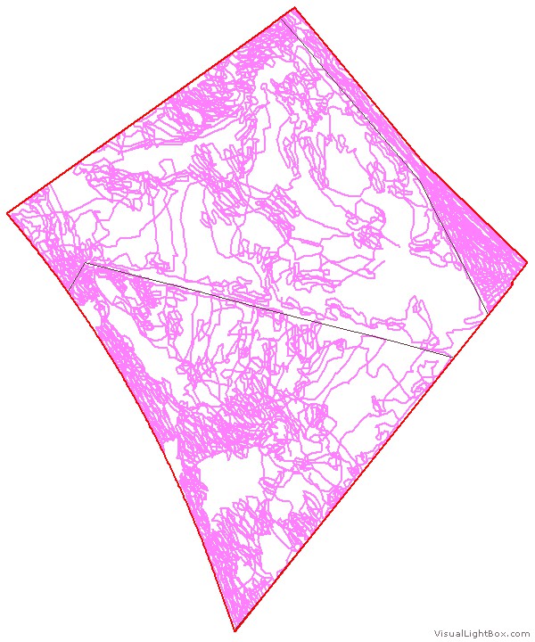 2015-16
 2011-12
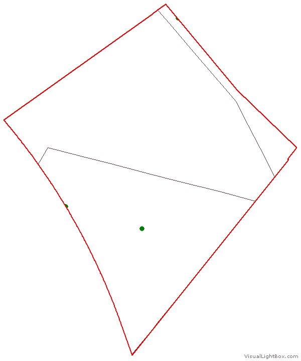 2012-13
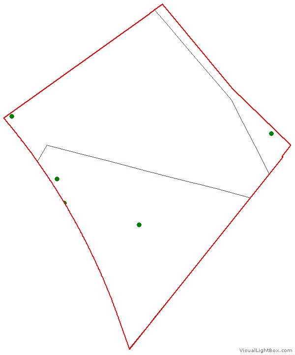 2013-14
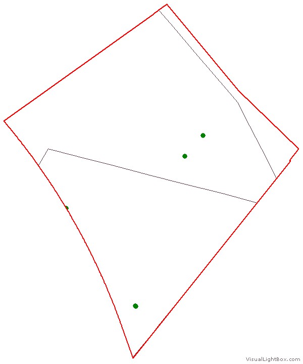 2014-15
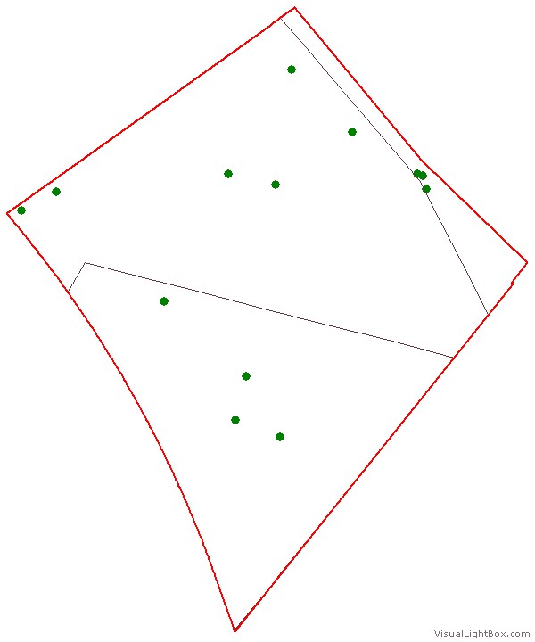 2015-16
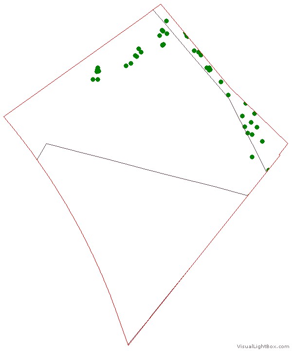 2011-12
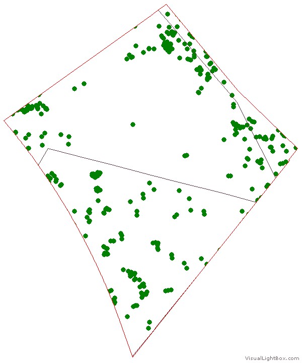 2012-13
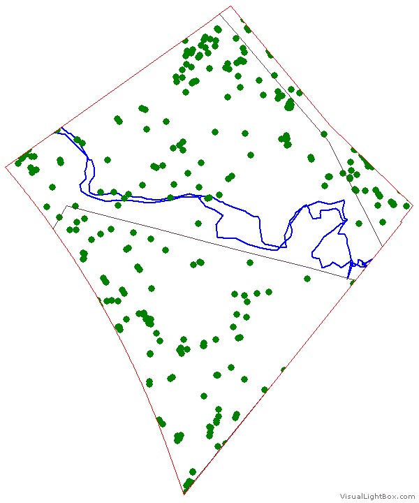 2013-14
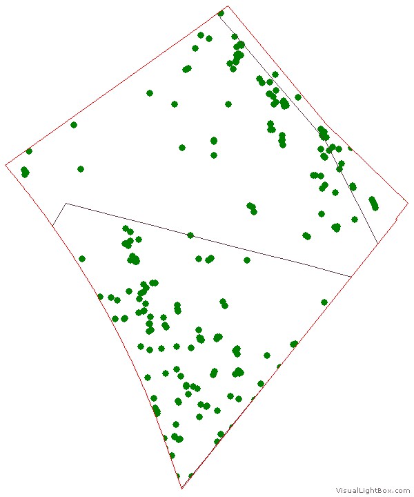 2014-15
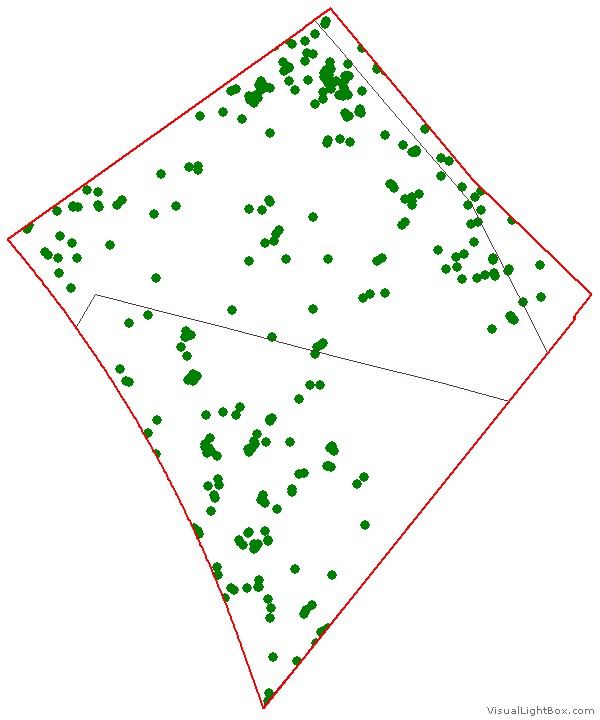 2015-16
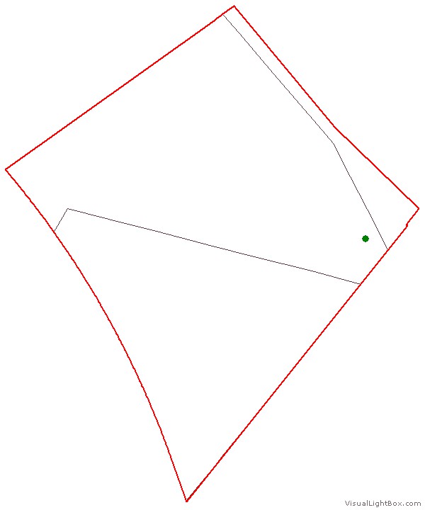 2011-12
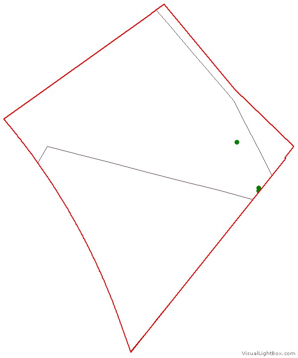 2012-13
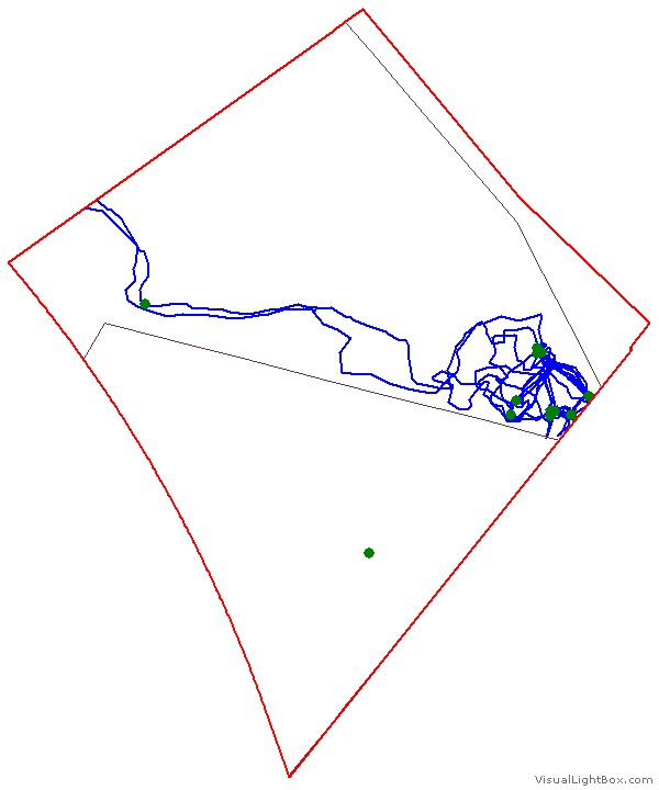 2013-14
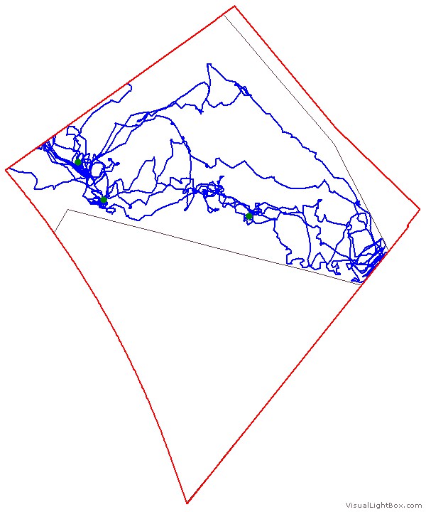 2014-15
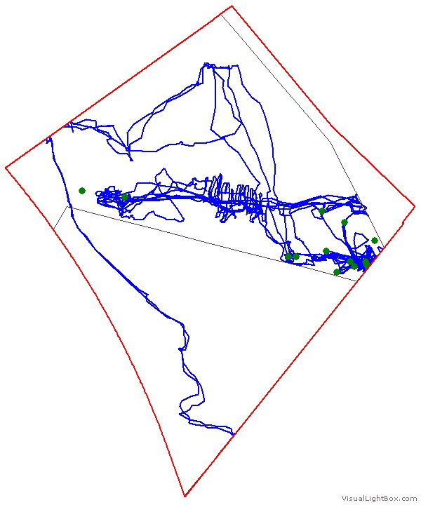 2015-16
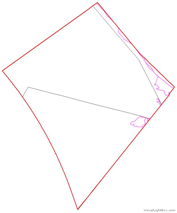 2010-12
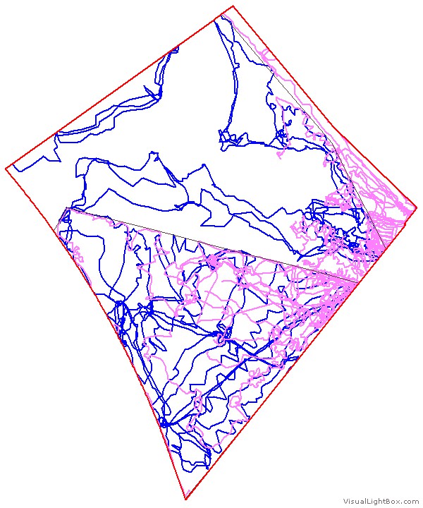 2012-13
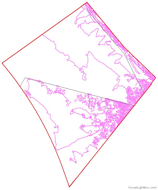 2013-14
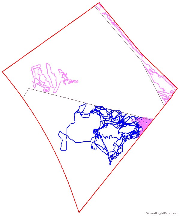 2014-15
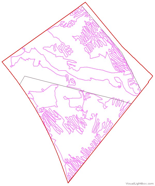 2015-16
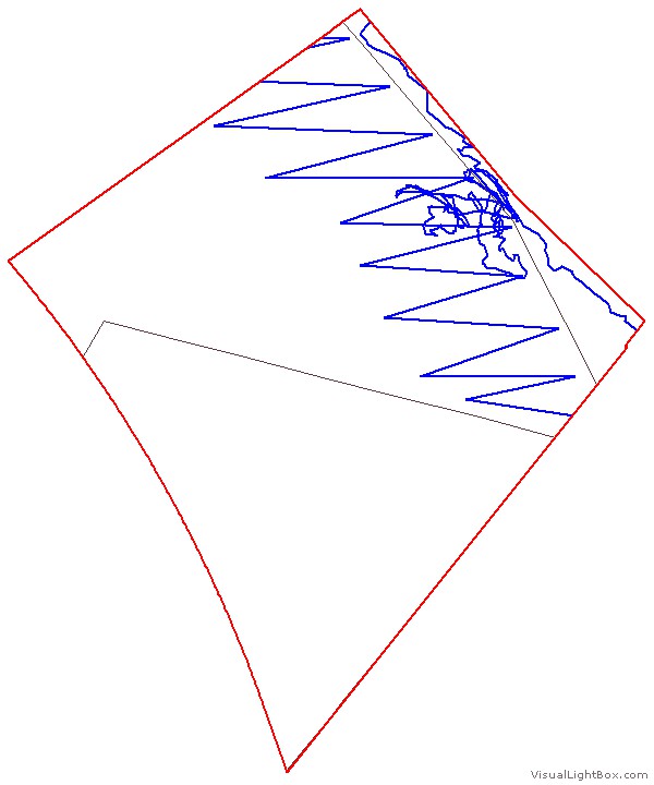 2011-12
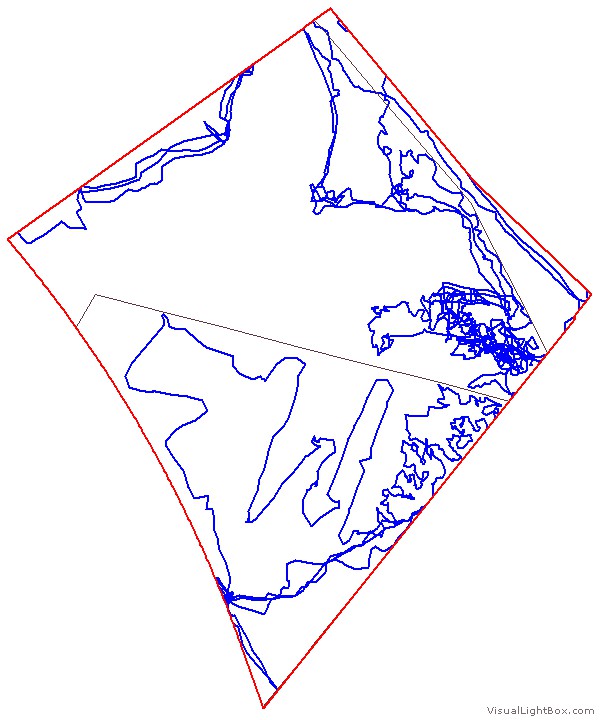 2012-13
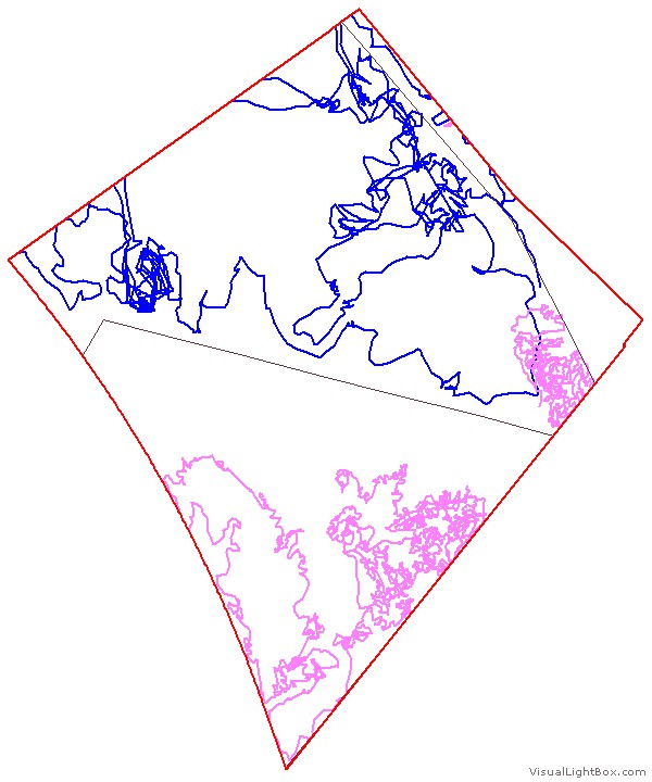 2013-14
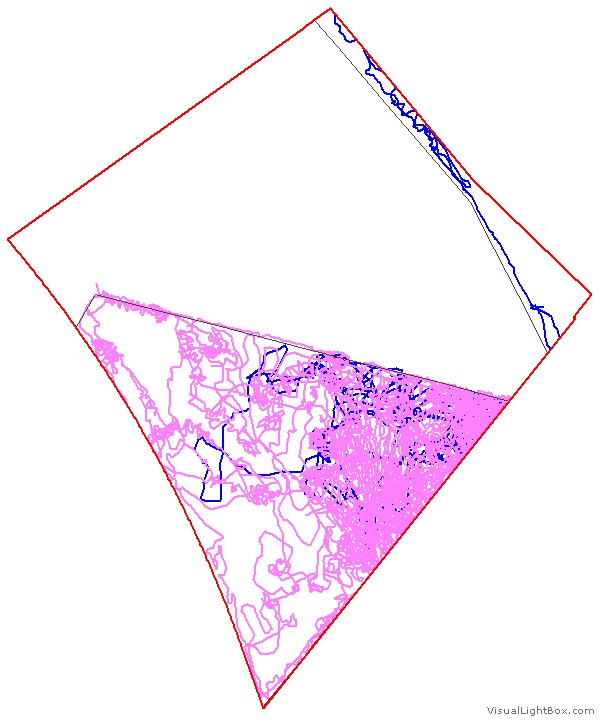 2014-15
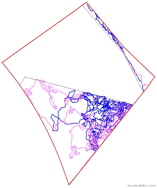 2015-16
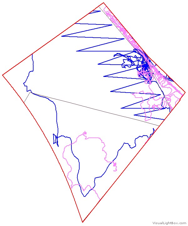 2010-12
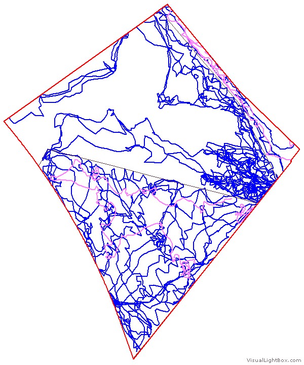 2012-13
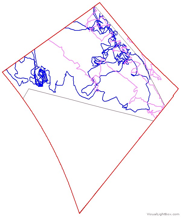 2013-14
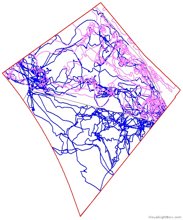 2014-15
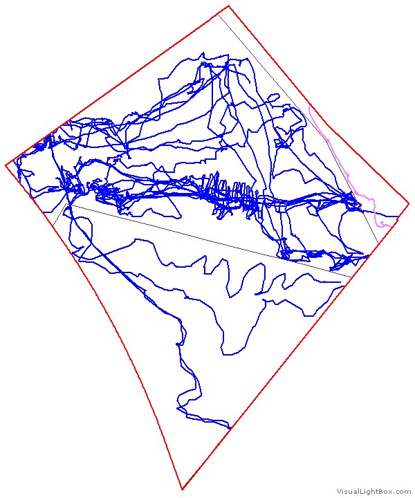 2015-16
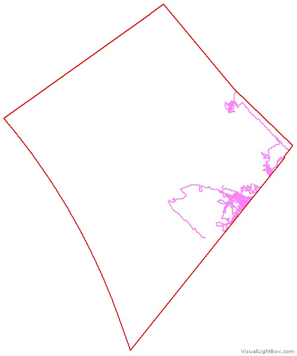 2011-12
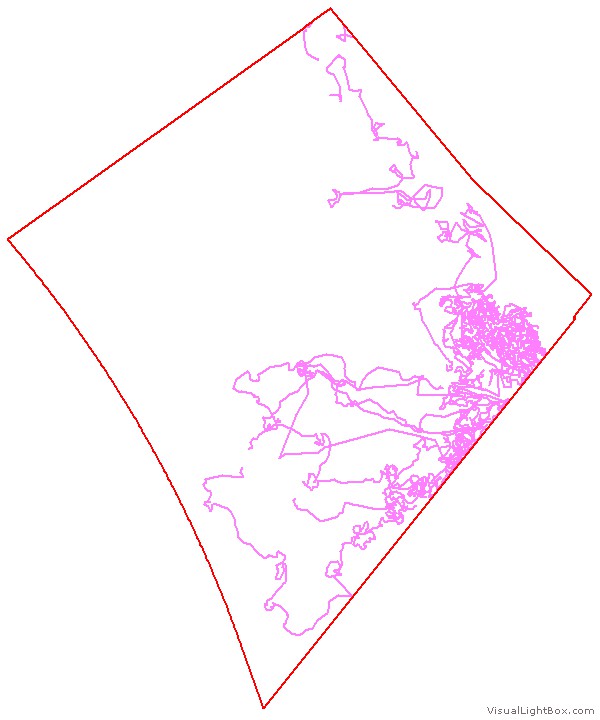 2012-13
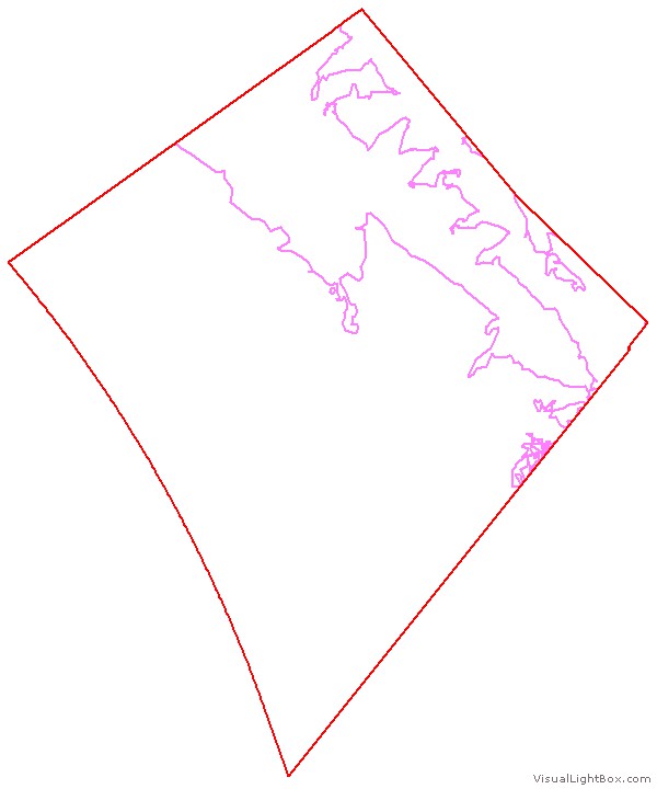 2013-14
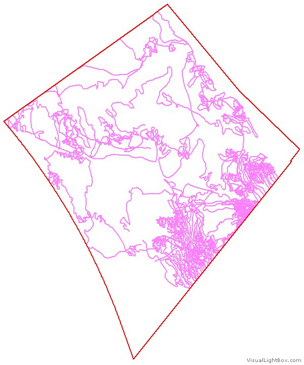 2014-15
 2015-16
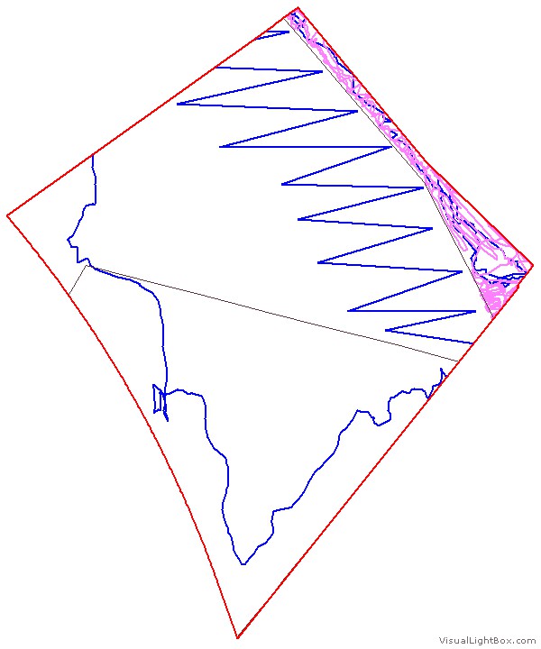 2011-12
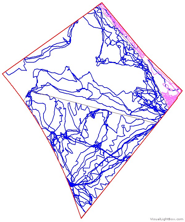 2012-13
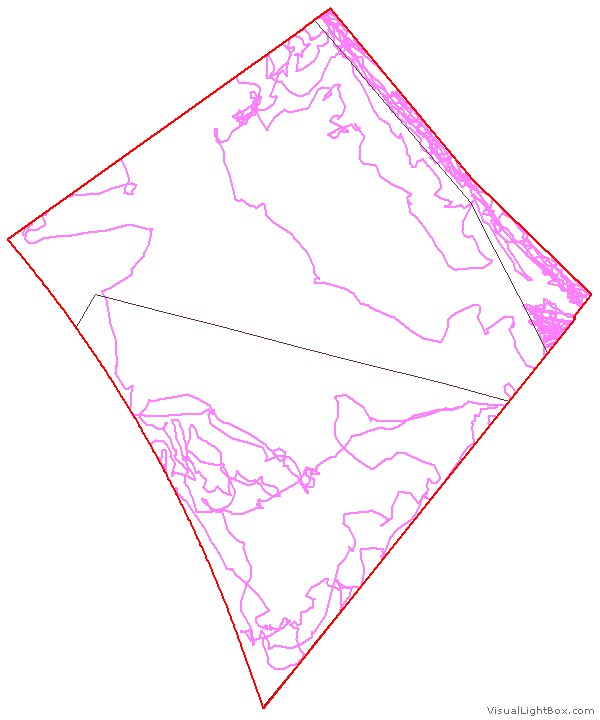 2013-14
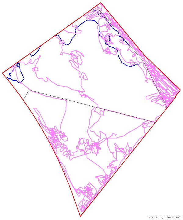 2014-15
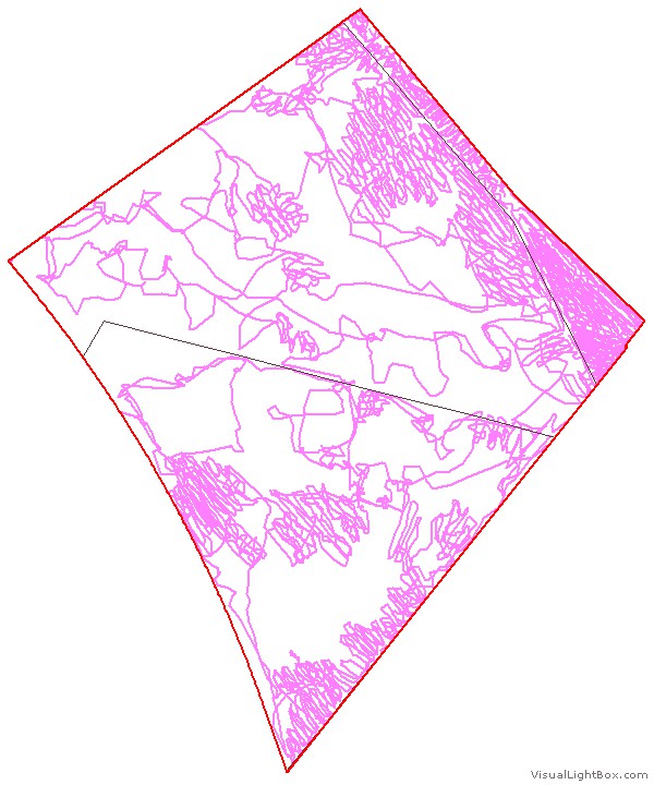 2015-16