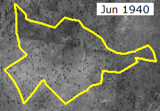
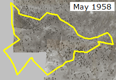
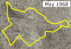
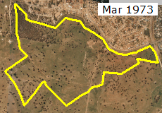
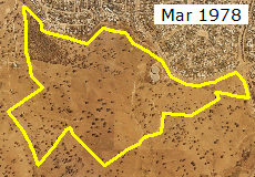
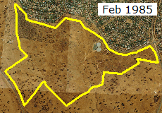
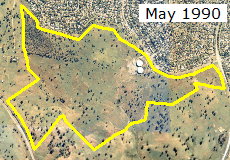
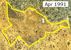
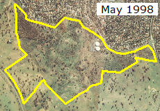
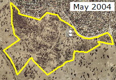
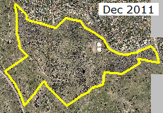
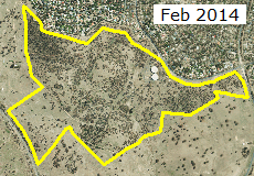
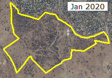
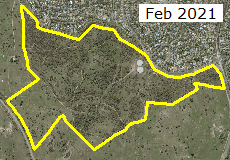
Aerial Imagery of The Pinnacle Nature Reserve
from 1940 to the present
Click each thumbnail to see a full-window sized image.
Tips for viewing
| Tip1: | Best viewed with browser in full-screen mode |
| Tip2: | Once an individual image has been selected and is occupying the whole browser window it can be zoomed to full resolution in the normal way on a touch screen or by clicking on it on non-touch screens |
| Tip3: | To compare years, open each in new tab and click back and forth between tabs |
About the images
Imagery from 1958 onward was downloaded from the ACTmapi website. The 1940 images were kindly supplied by ACT Parks and Conservation Service Ranger Craig.
Only a subset of the images available from ACTmapi are presented here, selected to show major changes that have taken place. Images are also available for more than 20 other years as well.
Since 2004 the aerial imagery has been captured digitally and is georeferenced* as part of that process. The earlier images captured by traditional aerial photography, printed on photographic paper and then scanned into pdf format required georeferencing by matching points on the photos to physical points with known coordinates. In some cases the Reserve required up to 5 individual photos to cover the area and the joins are not perfect because the photographic process results in images that do not match perfectly.
The source images were of variable resolution from 20 pixels per meter for some of the digitally captured images to less than 2 pixels per meter for some of the traditional photos. All images of the Reserve have been saved with a resolution of 1 pixel per meter and an image size of 2300 x 1600 pixels.
* georeferencing means to associate a map or aerial photo image to a geographic coordinate system.


